Maps of the San Pedro River
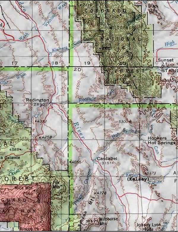
The strip map above focuses attention on the location of The Narrows of the San Pedro River -- where a geological separation of south from north crosses the river. To the West are uplands leading to Wildhorse Mountain in the Little Rincons; to the East are the Johnny Lyon Hills. Both of these uplands are composed of the same type of intrusive Proterozoic-age rocks. The Cascabel Road passes right by the Narrows at this point.
The Lower San Pedro -- Whitlock Wash to Gila River Confluence
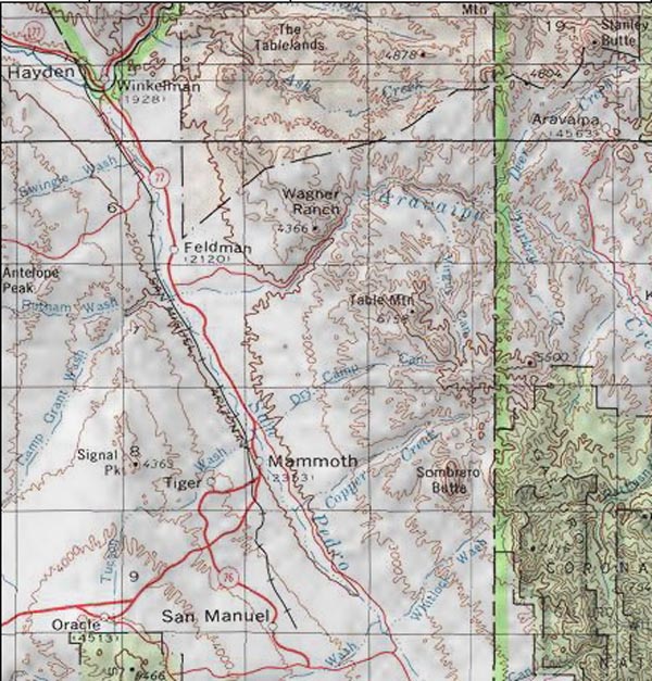
The Lower San Pedro -- The Narrows to Whitlock Wash
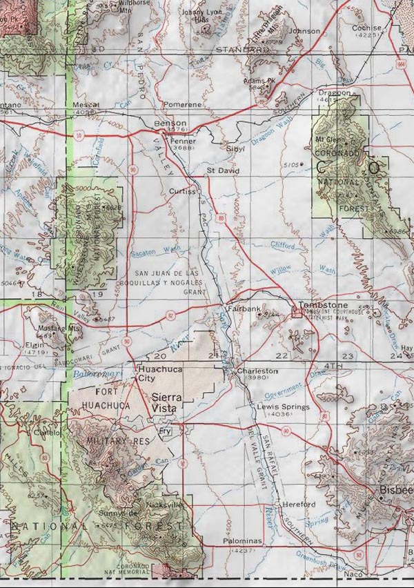
The Upper San Pedro River -- Mexico to The Narrows