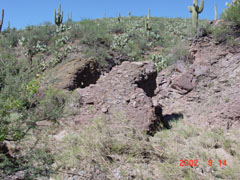
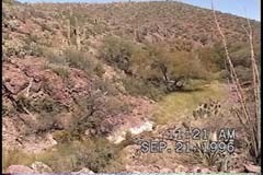
Sierra Blanca Canyon Wash:
Jim'sWillow Spring Photo Tour & Comparisons
Note: we do not have many image-comparisons prepared here (though we do have one pair which is quite interesting and important). As time permits, we will scan more old video images to get a fuller set of comparisons (and, of course, continue making more precise ones in the future).
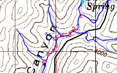
The Route from Sierra Blanca Spring Confluence
to Jim'sWillow Spring:
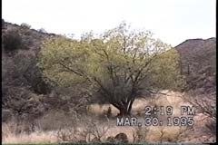
Note: The images below that contain "1995" IDs are incorrect -- the true dates of those images are 1997, an unfortunate camera error.
No. 01
Below: looking downstream, from the right bank at the SB Spring Wash confluence with SB Canyon Wash:
 ..
..
At almost the center of the left-hand image above, you can see a tiny brown pyramid. The image on the right shows a close-up of this pyramid, which indicates how high the latest flood deposited debris on the small tree in the center of the floodplain.
No. 02
Below: looking downstream, just beyond the rock outcrop on the left side of these images is the mouth of the first left-bank sidewash downstream from the SBS confluence. The central tree is the first willow growing below the confluence. (Some young juniper trees may also be seen here.)
Feb. 1996 ................................and...................... Mar. 1997
 .....
.....
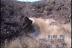
No. 03
This is located about 100 yards downstream from the first willow (above), looking downstream toward a second willow:
Feb. 1996 ..............................and................ Mar. 1997
 ......
No. 03a
This is located on the right bank and just downstream from the rock outcrop shown in #3 still looking downstream):
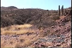
No. 04
At the end of the downstream straightaway shown just above, rock outcrops on the left and right stand just upstream from the entry of the first right-bank sidewash:
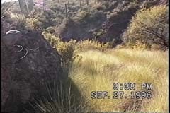
No. 05
This right-bank side wash is marked by a large monolith splitting the mouth:
No. 05a
looking upstream; ........................... looking downstream
 .....
.....
Note the rock outcrop running into the floodplain in the right-hand photo above; this is a stone's throw above photostation #06, below.
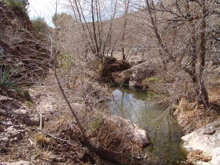
No. 06
Below left, downstream toward the willows of Jim'sWillow Spring -- both the left bank willow (foreground) and the right bank willow (behind it) are visible; center, a pool beside the left-bank willow; right, viewing the right-bank willow from downstream:
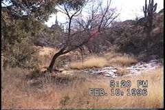
Below: view of Jim'sWillow Springs from above & downstream, looking upstream: in lower-center, whitened rocks mark the narrows shown in Photostation #07:
No. 07
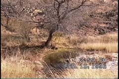
Jim'sWillow Spring:
March 1997 ....................... and............................. March 2003
 .....
.....

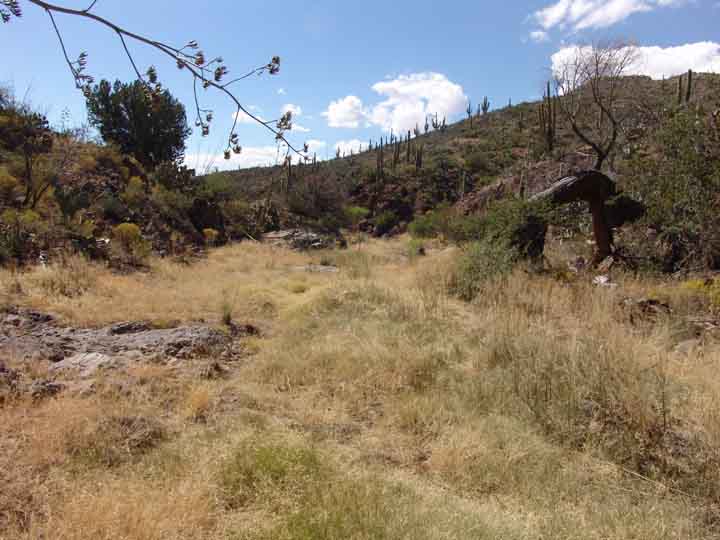
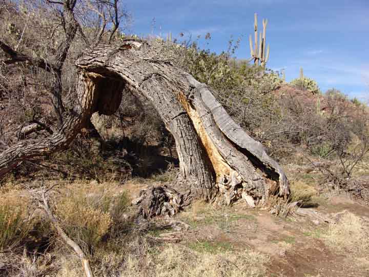
Both photographs above are looking downstream, and both show the same Cascabel Formation bedrocks at this point in the wash. The Big Pool of Jim'sWillow Spring is visible in both photos, but the Big Cottonwood downstream from the Pool (visible in the left photo with its fallen-trunk "arch" showing almost exactly in the center of the photograph in the distance) is no longer visible, concealed by a veritable grove of Willow trees, some reaching 15-20 feet high. These are now catching large amounts of flood debris.
Below left: February 2004, following the intrusion of bulls & cows; below right, October 2005.These are taken from somewhat different positions, but you can see anyway some recovery of vegetation in the photo at right. (Click on each image to enlarge it.)
 .....
.....
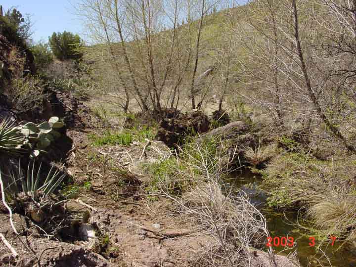
Some may find interesting this set of images showing the Spring pool close-up, from March 2003, February 2004, and October 2005: (Click on each image to enlarge it.)
 .....
.....
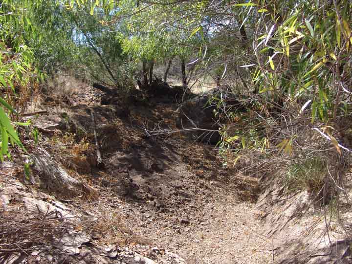
This October 2005 image is taken standing in the bottom of the pool itself (now dry, but with seepage occurring in the rock at upstream right, out of view):
No. 08
Below left: March 2003, looking downstream by cottonwood, before bulls & cows; below right: February 2004, after bulls & cows; (Click on each image to enlarge it.)
 .....
.....
Below: October 2005 (the big cottonwood now appears to be dead -- see the image at right (Click on each image to enlarge it.)
 .....
.....
No. 09
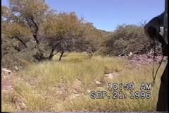
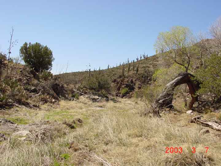
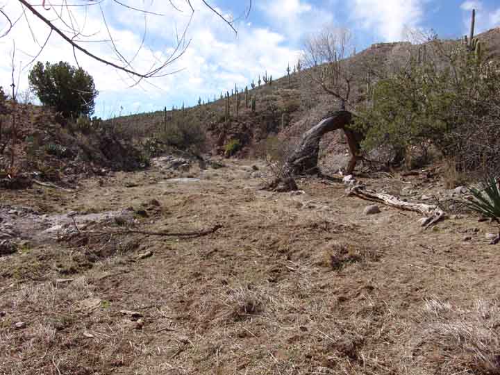
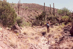
Downstream from the Hunters Camp Trailhead, looking upstream:
May 30, 1990 ................... and ................ September 14, 2002
 ......
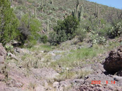
The image on the left was taken at the height of dry season, the one on the right shortly after late rains (during which the wash flooded heavily). The distribution of deer grass looks very similar in the two photos -- this location is a strongly "degrading" slope of streambed, but note that one of the large saguaros in the upper right quadrant of the left-hand photo has disappeared during the 12 year interval.
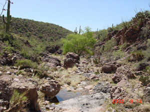
Looking downstream, a still-lower Willow is visible:
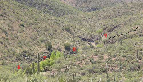
Summary #s 06 through 09: from SBS Hill (right bank), looking downstream in November 2002 (Hunters Camp Trail shown in black dashes at upper right):